Book Tickets Online
About
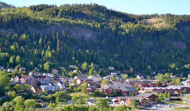
An exciting and in part a rugged hike in the "wilderness" for the entire family, close to the centre.
Park in the centre of Ål, and walk past the Police Station on the shortcut leading to Trolldalsvegen. In the end of this road you see a sign to "Trolldalen". The trail is a bit steep in the beginning, but after a few hundred metres it divides into two trails. You must now take the one to the right.
The trail is well-marked with red colour and is easy to follow. The hike continues in a partially rugged terrain eastwards. After about 600 metres the trail divides once more and you can follow the signs towards Berglivegen. From here you will end up in Gamlevegen which leads you back to the centre of Ål.
If you want a longer hike you must continue on the trail towards the climbing area, where you also find a bench. Follow the blue ribbons until you reach Sundrehagavegen. Follow this road back to the centre.
For detailed map and elevation profile see www.aal52.no
How to get here: The hike starts in the centre of Ål beside the Police Station. You can also park you car here..
Recommend map is the Ål52 map for this particular hike.
Facilities
Distance
- length in km - 3
Duration
- 1 hour
Grading
- easy - Blå, blue, blau
Nature and terrain
- difference in altitude - 480-545
- forest
- forest area
- hiking area
- rough


