Book Tickets Online
About
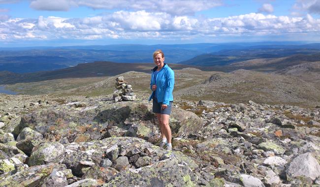
Demanding high mountain hike in nice mountain terrain with beautiful view.From the topp of Såta (1622 meters above sea level) there are views to Gaustatoppen in south, Hallingskarvet in west and northeast you can see Skagastølstindes in Westjotunheimen.
Follow the path from Trettestølane up along the river Eitra (2,5 km). From there the path goes northeast against velse-Såta, and then up between Såta and vesle-Såta. Steep acsent on rocky trail to the top.
On the hike towards Såta you can take a trail to Northern Grytingen (1462 meters above sea level).
Press the link for detailed map and height profile for this hike.
Map over såta - pdf
Elevation profile såta - pdf
The hike is only partially marked, bring map!
A more detailed map: Reineskarvet 1:50 000
Facilities
Distance
- length in km - 15 km tur / retur
Grading
- challenging - rød/ red/ rot
Nature and terrain
- cultural landscape
- difference in altitude - 1025-1622
- lookout point
- mountain
- rough
- stony
Season
- Autumn
- Spring
- Summer


