Book Tickets Online
About
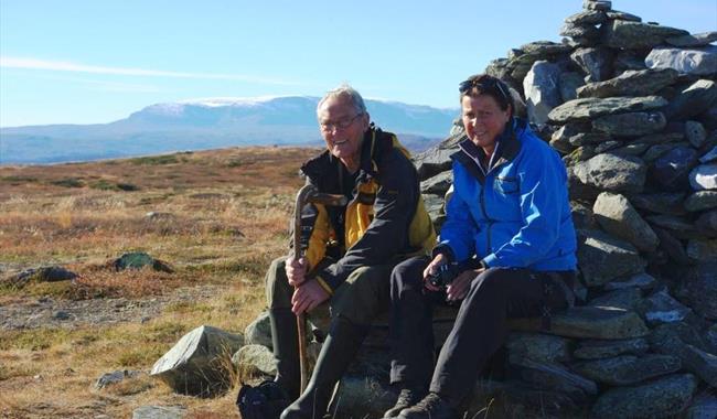
Far-flung view in all directions, where most of the trail is above the tree line.Start from the cottage are Primhovda Sør. Several cultural monuments along the trail. After the dip between Rosengardshovda and Primhovda, the trail takes off to Primhovda. There are several alternate ways to return.
More information about this hike will come shortly.
For detailed map and elevation profile see www.aal52.no
The hike is part of Ål52's hiking programme "10 favorite hikes in Ål".
How to get here: From Nedre-Ål school follow Øvre-Ålsvegen (d.r 246) for 4,6 km towards Kvinnegardslia. From the container spot drive towards the cottage are Primhovda Sør for 3,3 km. Toll road.
Park on the left hand side of the road 250 metres before the cottage area.
Recommended map for this hike is Reineskarvet 1:50 000.
Facilities
Distance
- length in km - 6 t/r
Grading
- easy - Blå, blue, blau
Nature and terrain
- difference in altitude - 1000-1133
- hiking area
- mountainous terrain
- view


