Book Tickets Online
About
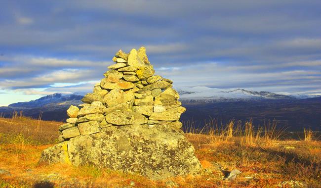
A child friendly and short hike, with magnificent view towards Hallingskarvet and the mountains in Ål.Follow the ridge from Halle up on Buhovda. From here you can choose both short and long hikes back.
Press the link for detailed map and height profile for this hike.
Map over Buhovda - pdf
Elevation profile Buhovda - pdf
A more detailed map: Reineskarvet 1:50 000
Facilities
Distance
- length in km - 3,5 km rundt Holtetjørne
Grading
- medium - blå/ blue/ blau
Nature and terrain
- cultural landscape
- difference in altitude - 1075-1149 moh
- lookout point
- mountainous terrain
Season
- Autumn
- Spring
- Summer


