Book Tickets Online
About
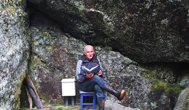
Start the hike by driving districtroad fv. 244 to Leveld School. You can park at Leveld School or west of Leveld kunstnartun.Walk Kvendavegen through the housing estates Gunnarhaugen. Take right from Kvednavegen and follow the floodlit trail to the path that goes up to the stone cave.
That’s were Eivind the Outlaw lived when he was hiding in the village between 1719-1737. Outdoor art exhibition along the hike. There are alternative routes back to the origin.
Press the link for detailed map and height profile for this hike.
Map over the stone cave - pdf
Elevation profile the stone cave- pdf
A more detailed map: Reineskarvet 1:50 000
Facilities
Distance
- length in km - 2,5 km rundtur
Grading
- easy - grønn/ green/ grün
Nature and terrain
- asphalt
- cultural landscape
- difference in altitude - 681-740 moh
- forest area
- gravel
- nature
Season
- Autumn
- Spring
- Summer


